
Qhrabad Village of Saqqez – History, Satellite Map, and Community Profile

📊 Territorial Classification & Demographics of Qhrabad Village of Saqqez

🏛️District (Bakhsh)
Central District
📍Rural District (Dehestan)
Sera
🏙️District Center / Town
Saqqez
🧭Geographical Direction
Northwest of Saqqez
🚗Distance to Saqqez City
47.6 km
⛰️Elevation Above Sea Level
1793 m
👥Population & Households
205 residents (49 households)
🆔Encyclopedia Archive ID
SG-VLG-0194
🌿Natural Geography & Mountain Landscape
Mountain springs, pastures, and geographic foothills of Tamugheh basin.
🌾Economy, Agriculture & Local Crafts
Wheat, barley, traditional livestock breeding, mountain dairy, local woolcrafts.

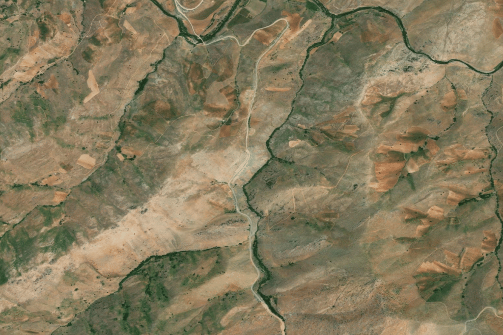
🛰️ Aerial & Satellite Imagery of Qhrabad Village of Saqqez

نقشه ماهواره‌ای و موقعیت جغرافیایی روستای قهرآباد سقز در نقشه نشان
📌 Topographical satellite overview showing village settlement pattern, road infrastructure, and natural landscape in Saqqez County
📍 Open in Google Maps

📖 Landscape Topography, Ancient Background & People of Qhrabad Village of Saqqez

According to the census in 2006, its population was 425, in 81 families. The village is populated by Kurds.

🏛️ Nearby Historical & Natural Landmarks (10 km Radius):

  • Historic/Natural Landmark (Archaeological & Historical Site) located approximately 9.1 km from the village.

🧭
Travel & Ecotourism Guide for Qhrabad Village

🌤️ Climate
High alpine climate, snowy winters and pleasant cool summers

🌸 Best Season to Visit
May through September

Natural & Cultural Highlights:

  • 🌿 Scenic mountain foothill landscapes at 1793 meters above sea level
  • 🌿 Pristine pastures and natural trails suitable for hiking and nature photography
  • 🌿 Fresh mountain climate with direct road connectivity from Saqqez center
  • 🌿 Authentic Kurdish rural heritage, traditional livestock breeding, and hospitable community

💡 Do you possess photographs, oral histories, or documents of this village? Help enrich our open cultural repository.