
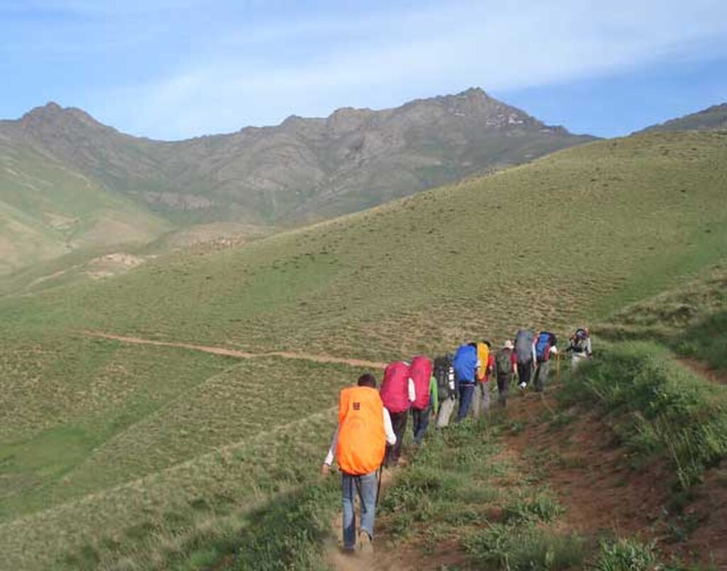
Chehel Cheshmeh Alpine Mountain Range of Saqqez (3,137m)

📊 Identity Card, Historical Era & Archaeological Specifications

🏛️Site Type / Function
Alpine Mountain Range, Glacial Cirques & Highest County Peak
⏳Historical Era & Date
Mesozoic Orogeny & Alpine Tectonics
📜National Heritage Status
National Natural Monument & Ecotourism Alpine Haven
🆔Encyclopedia Archive ID
SG-PLC-0140
🕒Visiting Hours
Trekking Season: May through October (Winter requires alpine gear)
🧭GPS Coordinates
35.839094, 46.538083
⛰️Elevation (AMSL)
3,137 m above sea level (Highest summit in Saqqez County)
🚗Distance to Saqqez Center
56 km South of Saqqez city (via Khorkhoreh to Ishaqabad)
📍Verified Location & Address
Kurdistan Province, 56 km South of Saqqez, Chehel Cheshmeh Alpine Range, Ishaqabad & Kanemat Villages
🏗️Architectural Features
Over 20 soaring peaks (Shah-Neshin, Dalash, Dobra, Kol-Kouzh), perennial glaciers, hundreds of mineral springs, alpine valleys of wild rhubarb and rare flora

📸 Featured Aerial & Landscape Photography

Chehel Cheshmeh Alpine Mountain Range of Saqqez - Saqqez Heritage & Geographical Archive
📌 Verified high-resolution imagery and architectural layout in Saqqez County

📖 A Journey Through Antiquity, Archaeological Heritage & Design of Chehel Cheshmeh Alpine Mountain Range of Saqqez

Chehel Cheshmeh Alpine Mountain Range (3,137m) is the crown summit of Saqqez County and one of the most majestic glaciated massifs in the Northern Zagros range. Rising 56 km south of Saqqez, it is celebrated for perennial glacial snowfields, breathtaking alpine biodiversity, and hundreds of freshwater springs.

Alpine Summits & Glacial Cirques

The massif encompasses more than 20 distinct peaks exceeding 2,800 meters, centered around the grand Shah-Neshin summit. Its abundant melting snowfields feed three of western Iran’s greatest rivers: the Zarrineh River, Qezel Owzan, and Sirwan.

💡 Do you have historical photographs or documents about this site? Contribute to Saqqez Gyan.