
Qlah Gah Gudrz Village of Saqqez – History, Satellite Map, and Community Profile

📊 Territorial Classification & Demographics of Qlah Gah Gudrz Village of Saqqez

🏛️District (Bakhsh)
Central District
📍Rural District (Dehestan)
Sera
🏙️District Center / Town
Saqqez
🧭Geographical Direction
Northeast of Saqqez
🚗Distance to Saqqez City
30.7 km
⛰️Elevation Above Sea Level
1625 m
👥Population & Households
228 residents (54 households)
🆔Encyclopedia Archive ID
SG-VLG-0187
🌿Natural Geography & Mountain Landscape
Mountain springs, pastures, and geographic foothills of Tamugheh basin.
🌾Economy, Agriculture & Local Crafts
Wheat, barley, traditional livestock breeding, mountain dairy, local woolcrafts.

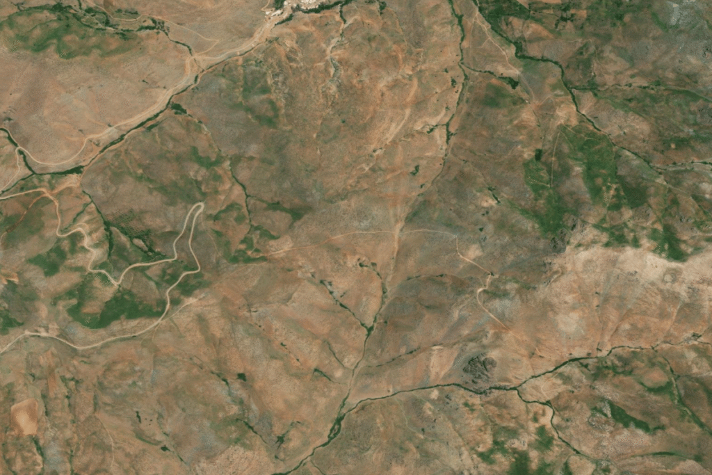
🛰️ Aerial & Satellite Imagery of Qlah Gah Gudrz Village of Saqqez

نقشه ماهواره‌ای و موقعیت جغرافیایی روستای قلعه‌گاه گودرز سقز در نقشه نشان
📌 Topographical satellite overview showing village settlement pattern, road infrastructure, and natural landscape in Saqqez County

📖 Landscape Topography, Ancient Background & People of Qlah Gah Gudrz Village of Saqqez

Qlah Gah Gudrz Village is an authentic rural settlement situated in the cultural and geographical basin of Saqqez County, Kurdistan Province, representing long-standing mountain traditions and pastoral heritage.

🧭
Travel & Ecotourism Guide for Qlah Gah Gudrz Village

🌤️ Climate
Temperate mountain climate with green springs and mild summers

🌸 Best Season to Visit
May through October

Natural & Cultural Highlights:

  • 🌿 Scenic mountain foothill landscapes at 1625 meters above sea level
  • 🌿 Pristine pastures and natural trails suitable for hiking and nature photography
  • 🌿 Fresh mountain climate with direct road connectivity from Saqqez center
  • 🌿 Authentic Kurdish rural heritage, traditional livestock breeding, and hospitable community

💡 Do you possess photographs, oral histories, or documents of this village? Help enrich our open cultural repository.